May 31, 2008
North Central Oklahoma


Summary:
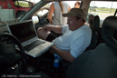
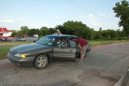
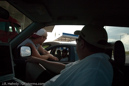
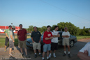
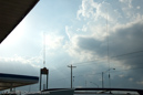
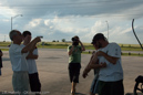
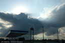
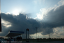
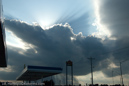
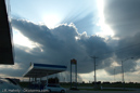
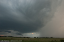
Today was there was a chance of some storms later in the day, possibly along a dryline west of I-35, as well as points farthur east. It was a Saturday and the target area was not too far away, so my friend, Jim, and I headed north on I-35, stopping at the Perry exit. We met up with a group of OU meteorology grad students, Howie Bluestein, as well as Shane Adams and Chad Lawson. After an hour or so some light convection began to our west, but some more vigorous storms formed to our northeast. When it became apparent the northeast storms were going to be the best of the day we decided to catch them as they moved off toward Kansas. As we approached the first storm we were hearing reports of lowerings and funnels on the radio, but we were never able to see this for ourselves. We finally caught this storm near Pawhuska, but it was high based and outflow dominant. As darkness was falling we continued north to investigate some intensifying storms east of Arkansas City, but these failed to produce anything interesting as well. Pictures grainy? At the end of the day I discover that I had left my camera set at ISO1600.
Questions or comments? Please contact J.R. Hehnly