Click on an image to enlarge it.
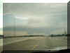
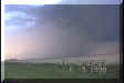
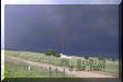
October 4, 1998 - Northern Oklahoma
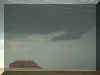
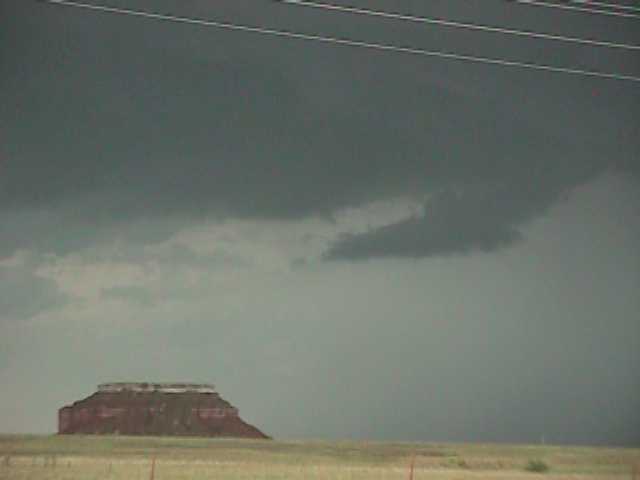
SH 412 west of Orienta looking north at a scudnado (as a real tornado was on the ground near Watonga, 40 miles south! Bummer!!!)
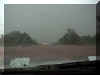
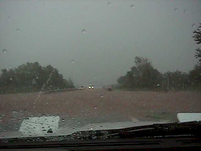
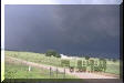
SH 8 north of Carmen. Caught on flooded
roadway while hail passed. Car got a few more trophies from some golf ball size stones. I
thought I was going to blow off the road from the RFD!
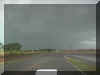
More flooding on SH 64 west of Jet.
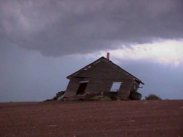
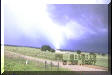
Off of SH 64 west of Jet. Took a mud road to
get around flooded highway. Not a smart move. I made it through, though. I'm not saying
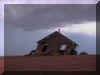
this home was damaged by today's storms!
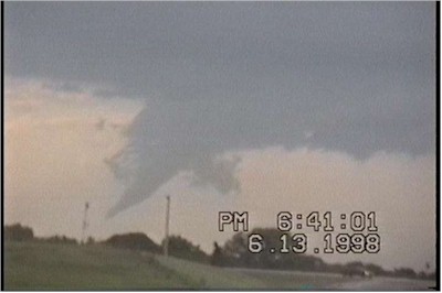
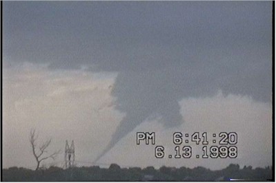
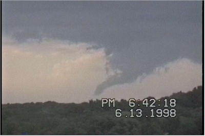
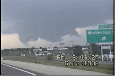
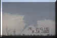
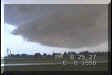
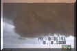
June 13, 1998 - Guthrie, Oklahoma Tornado
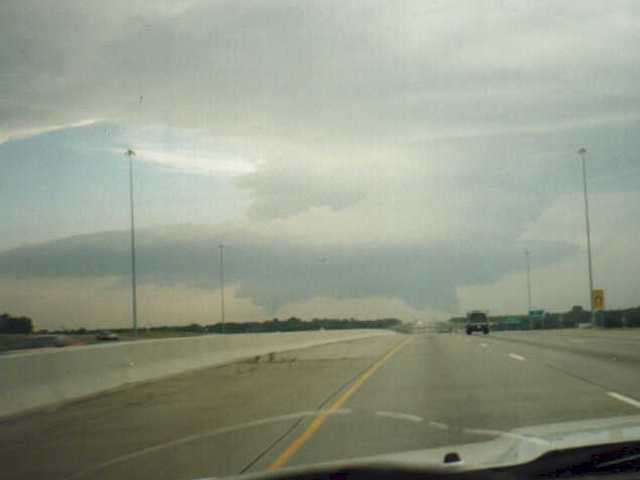
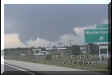
I-35 near Edmond looking north. Good looking
supercell over Guthrie.
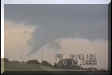
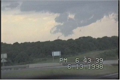
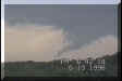
I-35 south of Guthrie looking north. 6:41 PM
CDT. My first tornado!!!

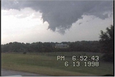
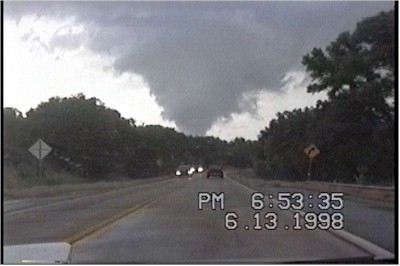
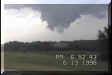
I-35 south of Guthrie looking north. 6:42 - 6:43PM
CDT. This one dissipated pretty quickly.
I missed the damaging ones in Oklahoma City today,
but a fun chase anyway!
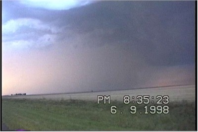
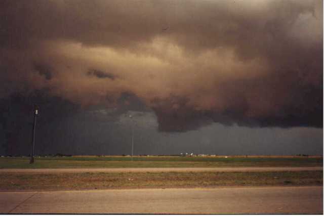
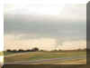
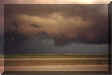
June 9, 1998 - Fredrick, Oklahoma

SH 183 south of Frederick. The views of the
sun illuminating these towers made my bust chase worth the effort.
SH
183 south of Frederick. Mean looking, but non-tornadic.

SH 183 just south of Frederick. Developing
storms gave a beautiful sunset.
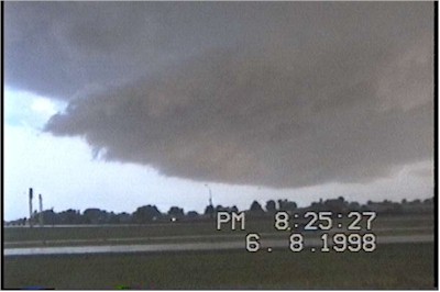
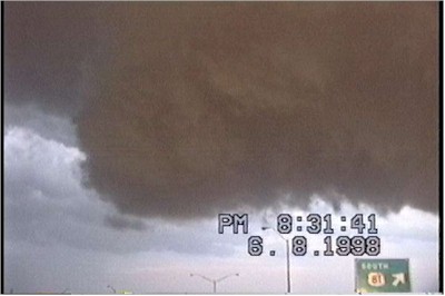
June 8, 1998 - West of Oklahoma City
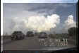
I-40 near El Reno, OK. 8:25 PM CDT.
I-40 at SH 81 exit looking east. 8:32 PM CDT.
This storm really looked significant, headed straight for Oklahoma City.
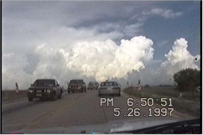
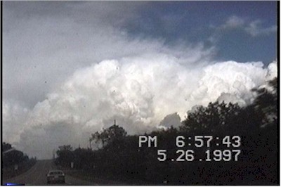
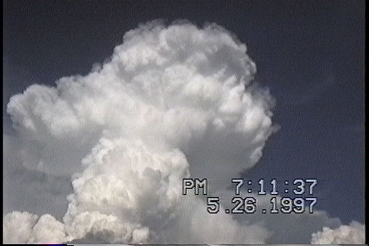
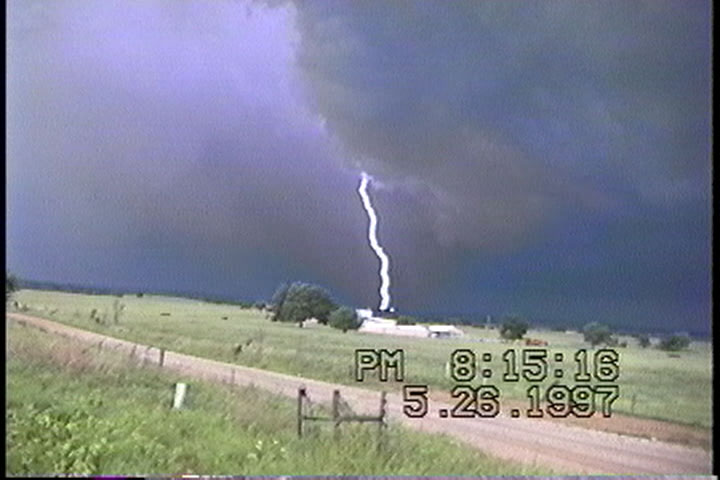
May 26, 1997 - Eastern Oklahoma
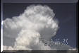
SH 177 at SH 9 in Tecumseh looking E. 6:50 PM
CDT. Towers were really starting to grow.
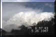
SH 9 just west of Seminole. 7:11 PM
CDT. This one looks like a nuclear mushroom cloud!
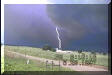


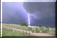
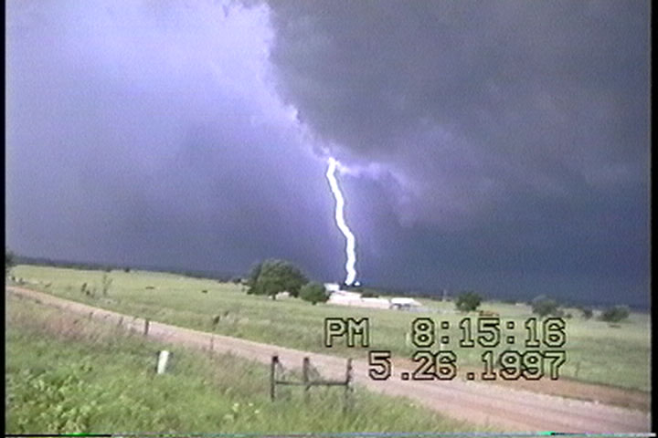
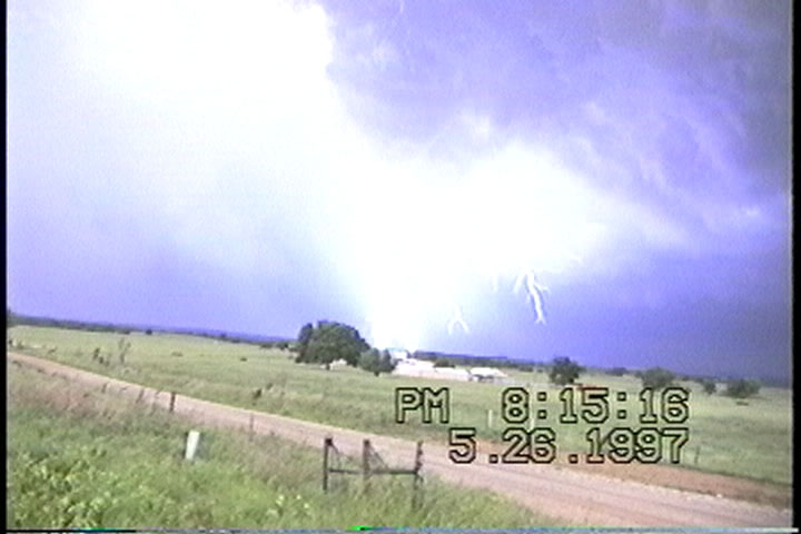
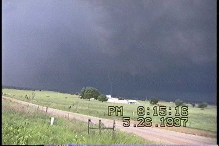
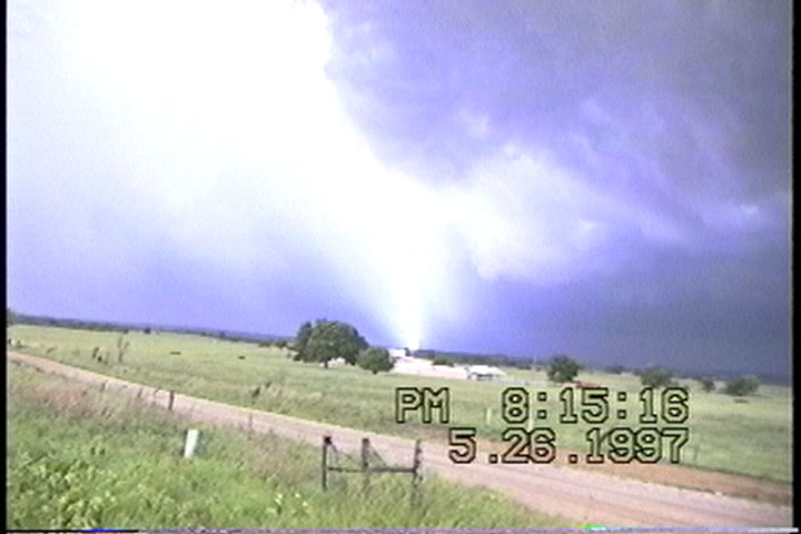
SH 99A 2 miles east of Cromwell looking
south. 8:15 PM CDT. I never saw the tornado, but got some good lightning shots.
|