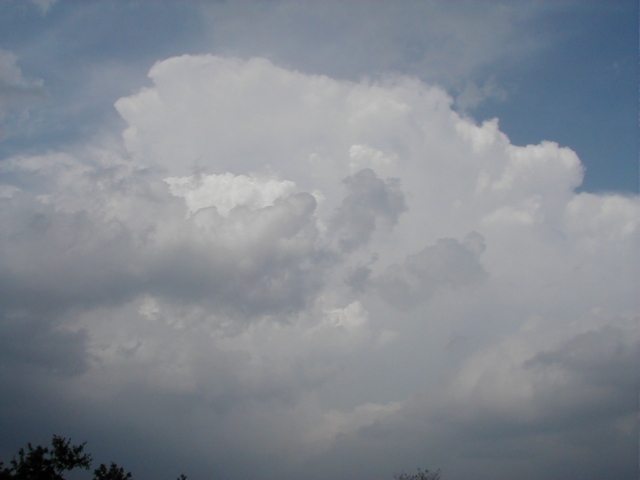
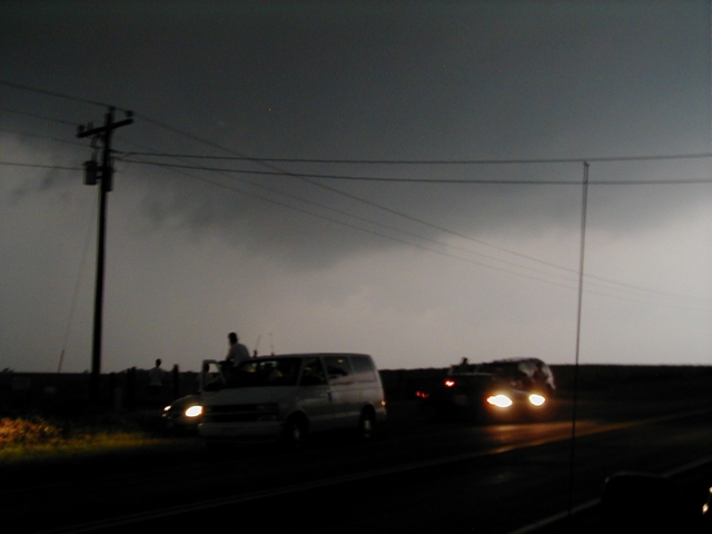
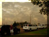
April 3, 2003
40 miles southwest of Oklahoma City
Left Oklahoma City around 6pm. I didn't
expect to see much, but wanted to get in some practice with the new equipment I
have.
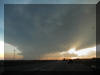
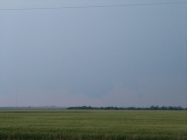
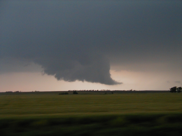
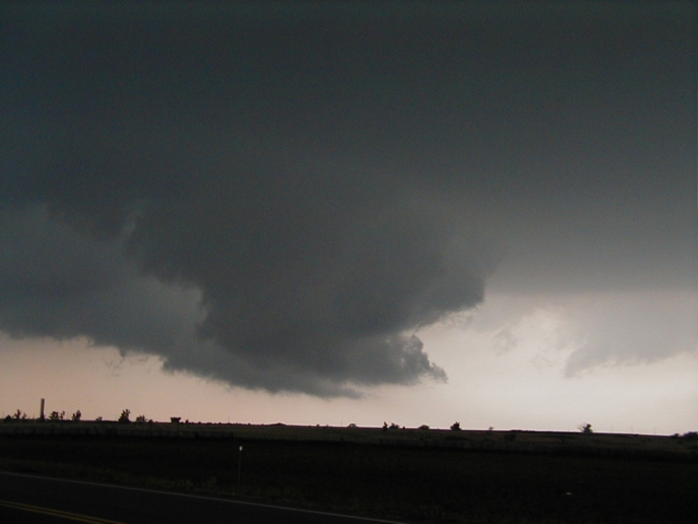
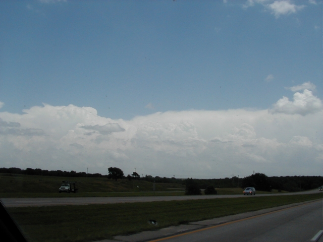
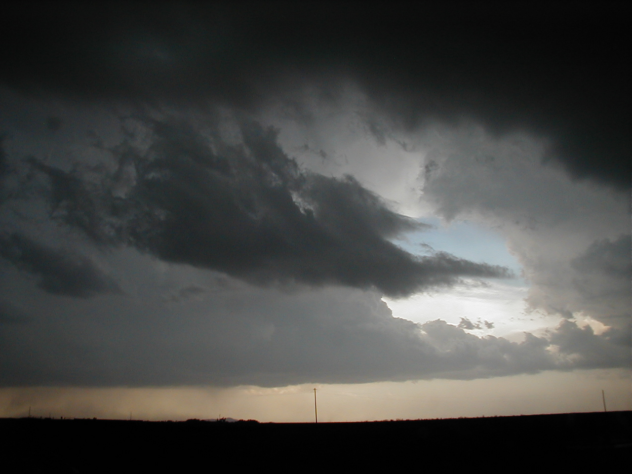
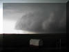
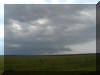
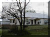
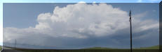
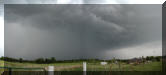
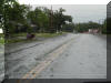
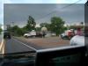
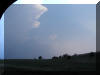
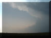
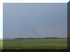
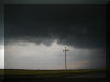
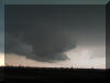
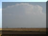
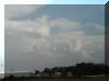
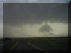
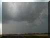
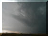
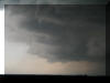
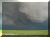
SH37 in Newcastle looking West, 6:38pm
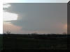
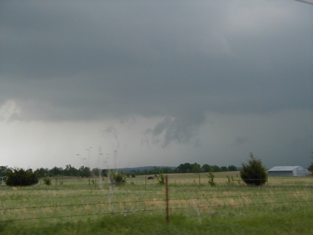
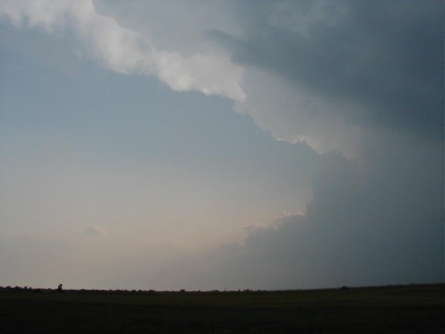
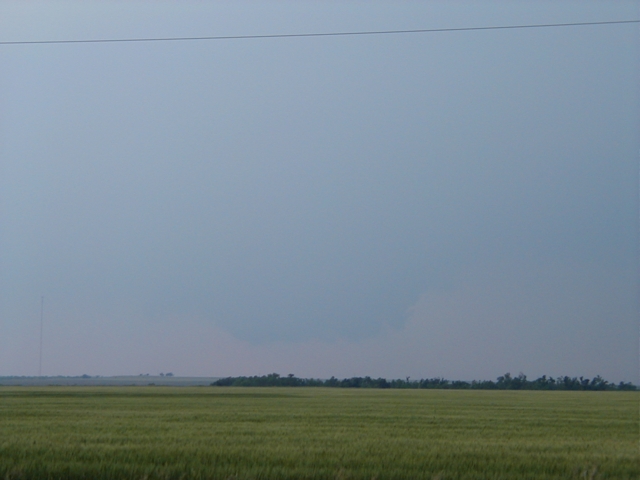
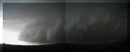
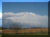
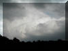
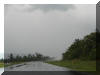
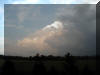
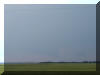
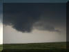
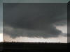
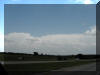
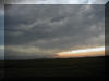
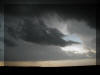
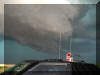
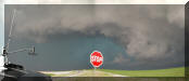
SH92 5 miles South of Tuttle looking West, 6:53pm
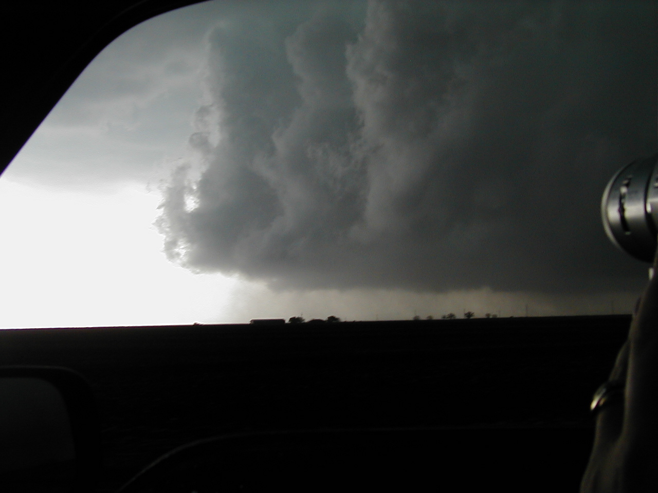
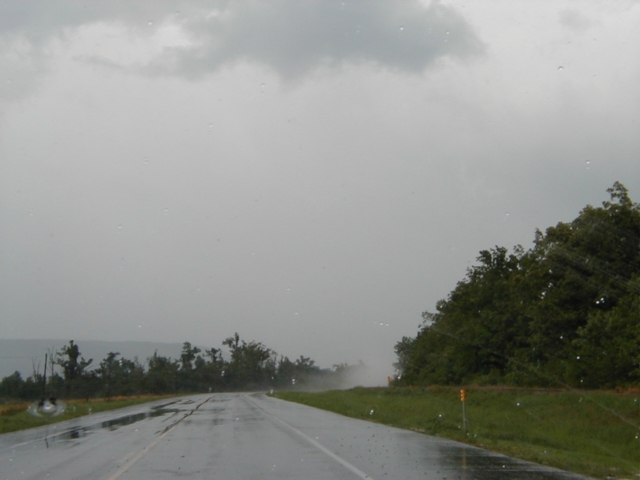
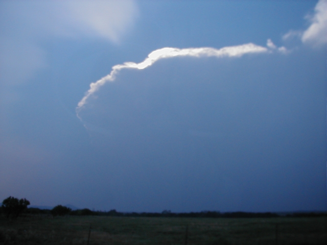
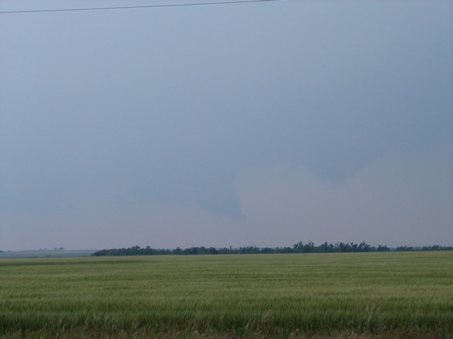
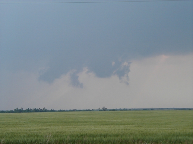
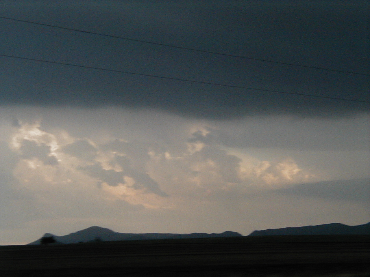
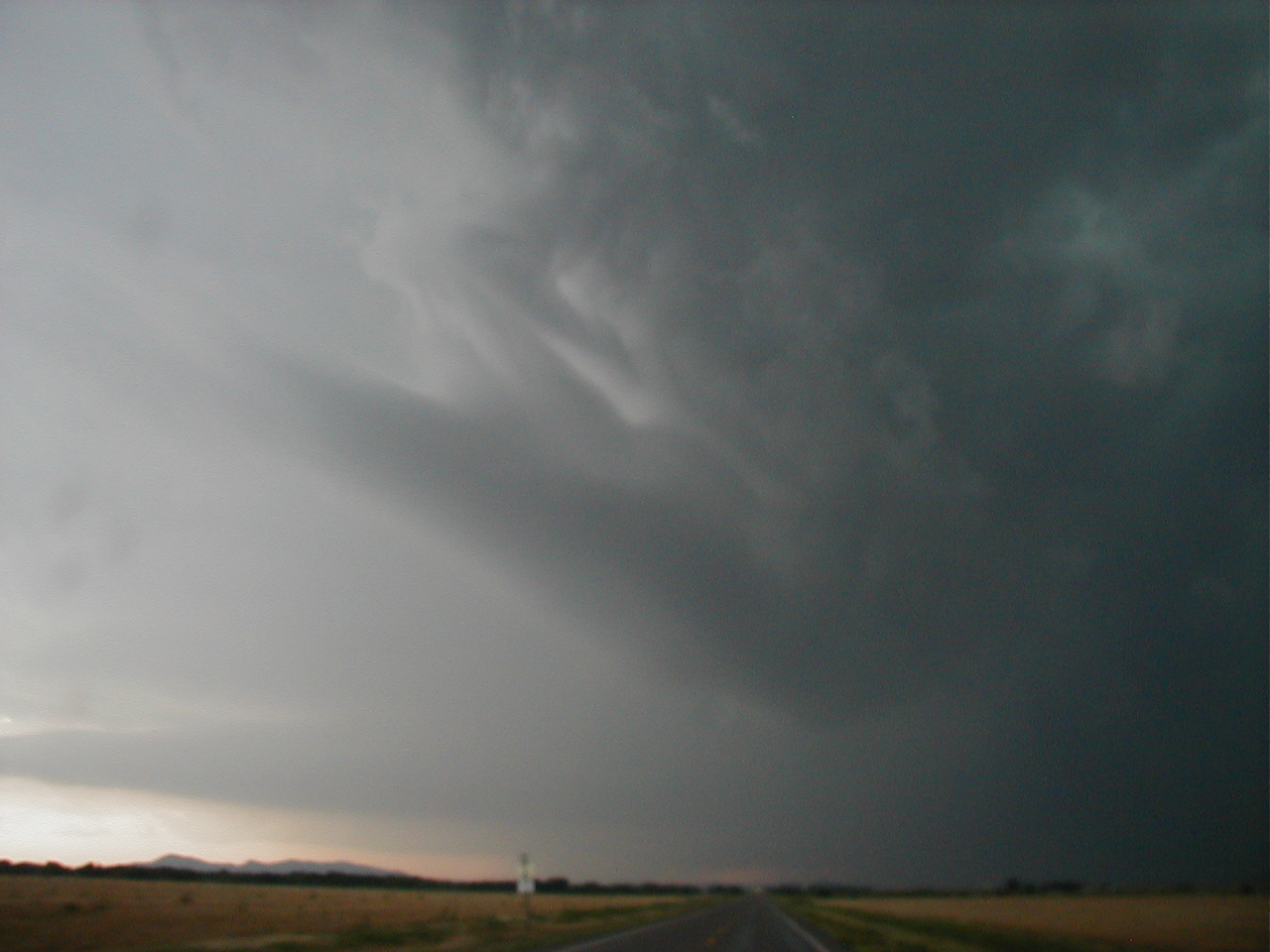
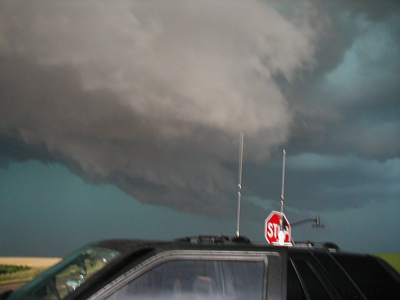
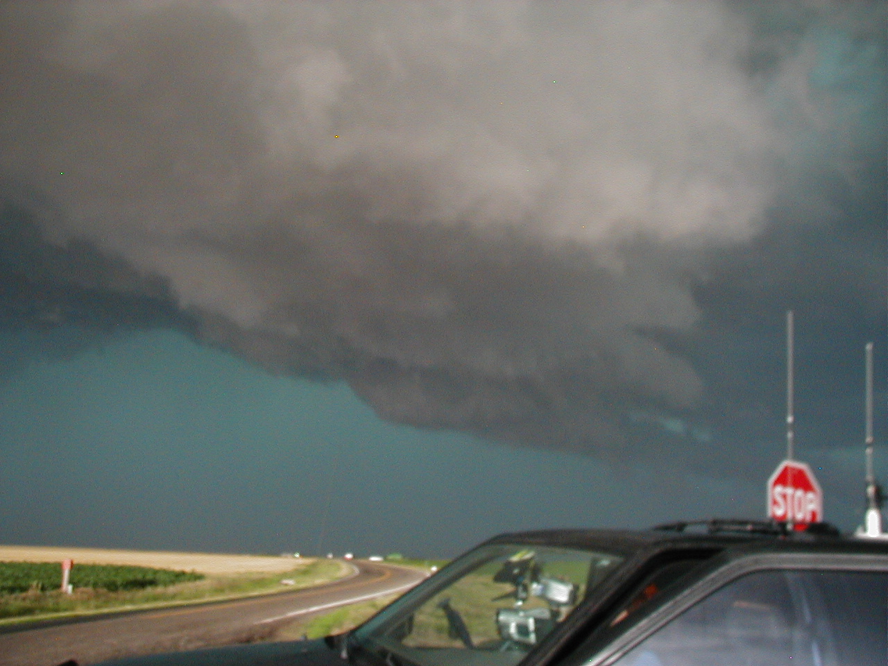
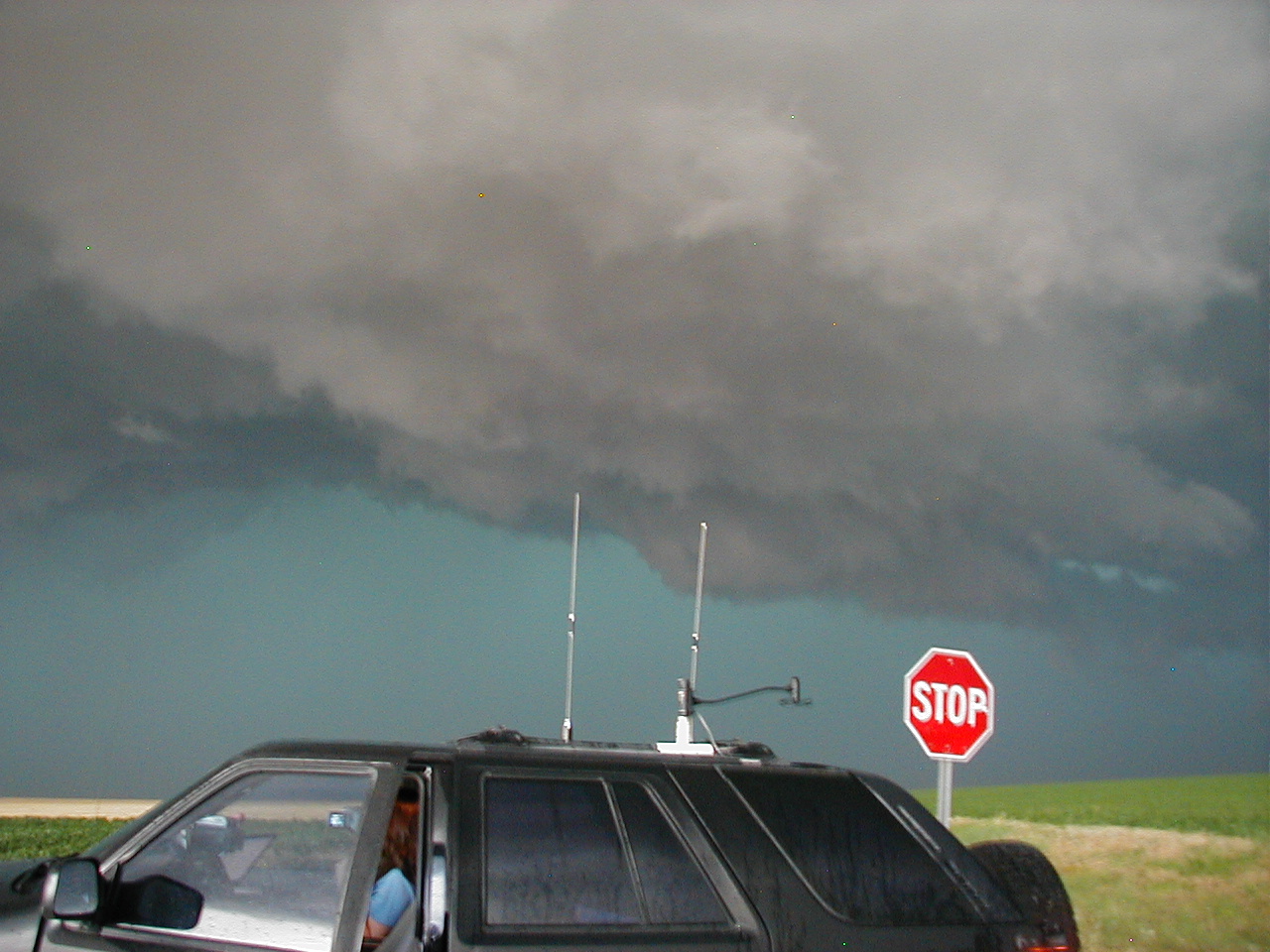
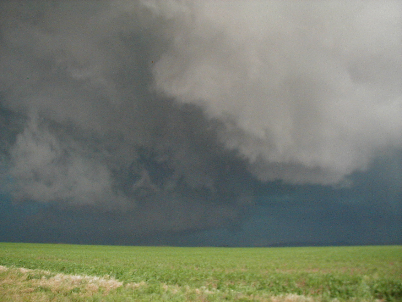
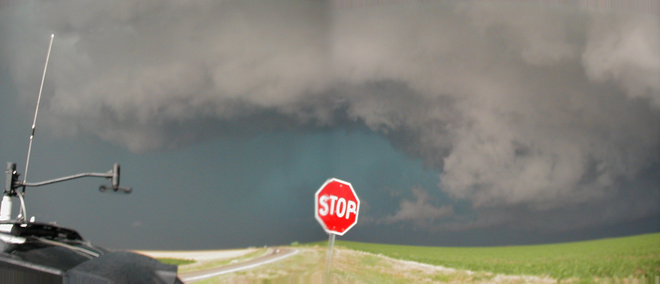
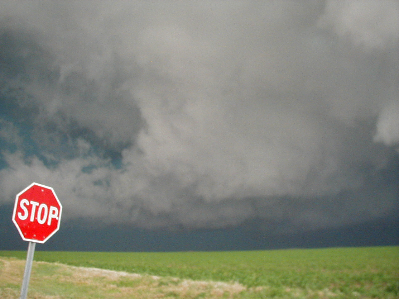
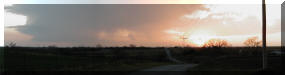
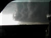
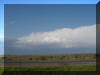
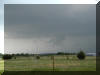
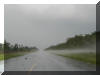
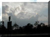
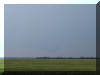
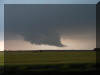
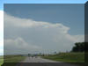
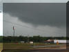
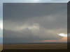
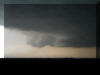
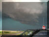
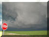
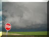
SH81 near Pocasset looking West, 7:00pm
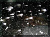
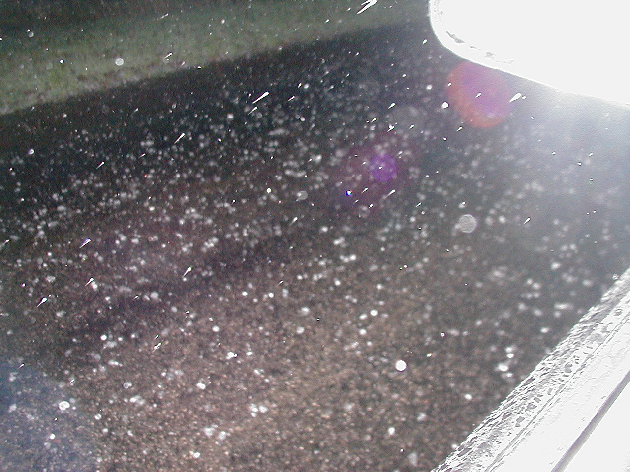
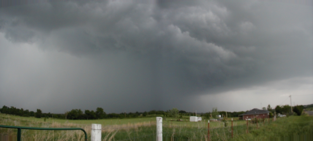
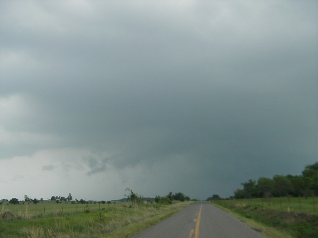
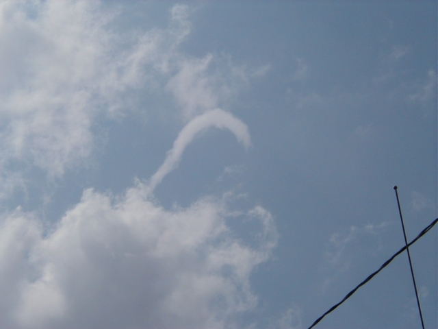
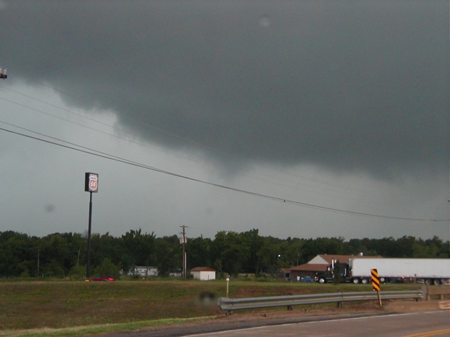
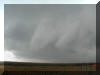
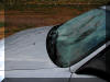
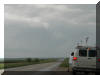
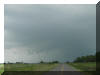
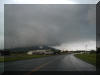
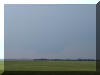
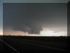
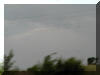
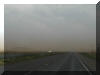
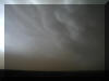
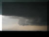
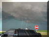
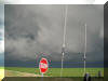
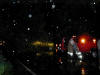
I tried to photo the hail. It got up to the size of quarters
and completely covered the road, resulting in some ground fog.
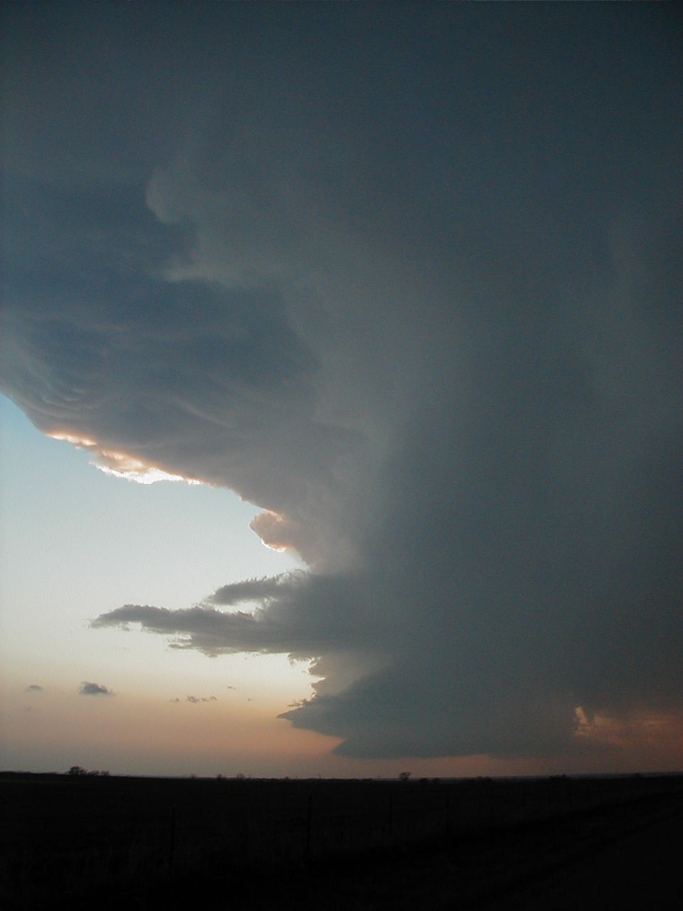
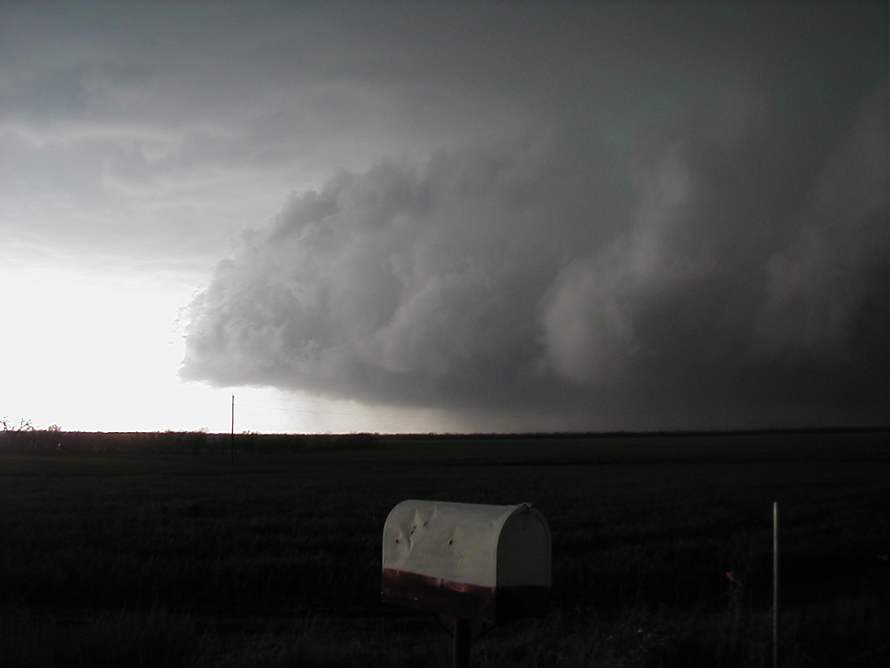
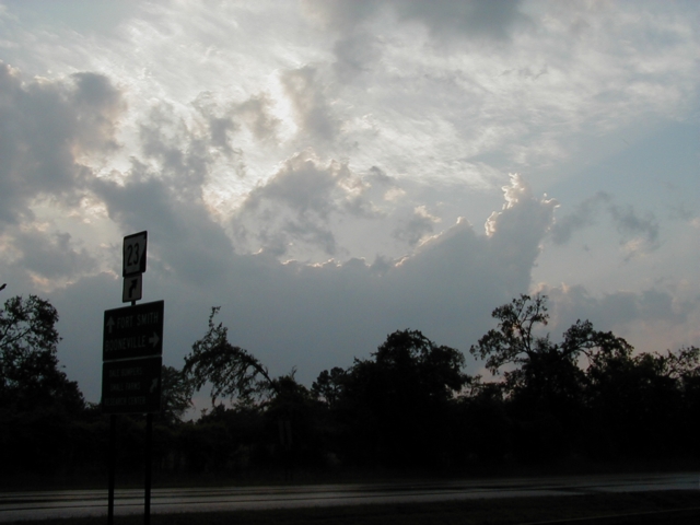
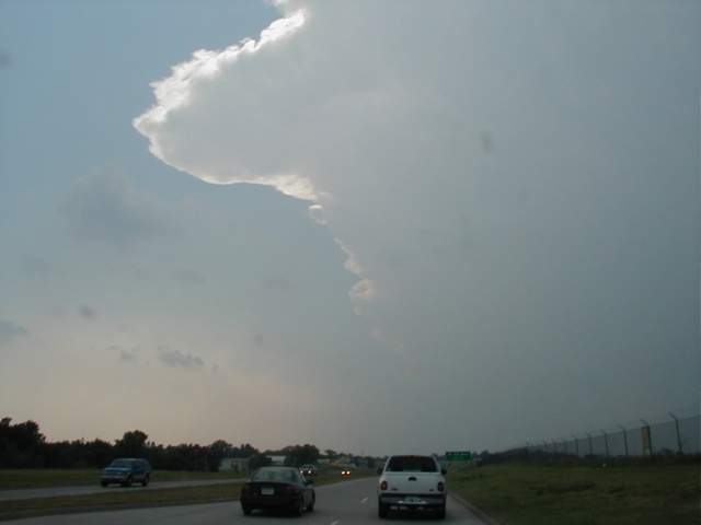
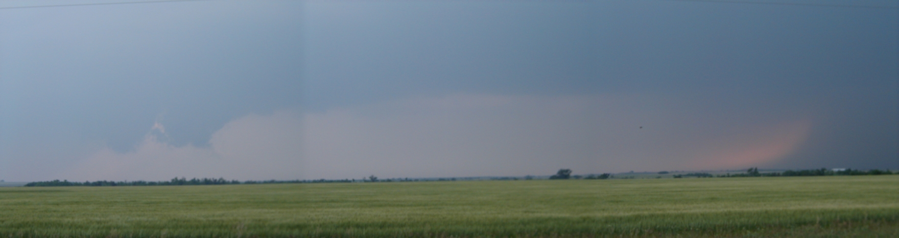
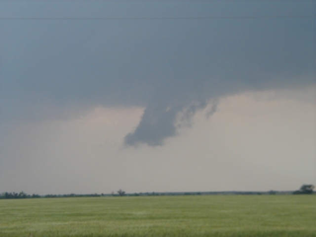
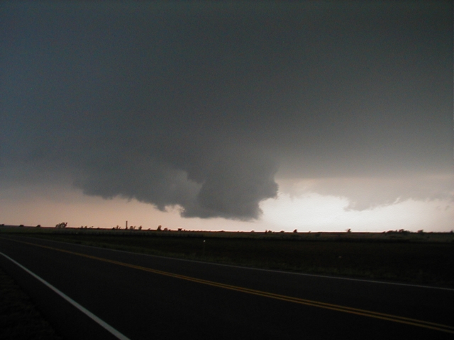
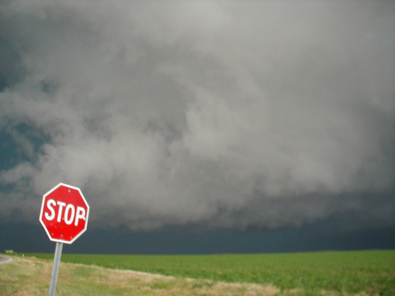
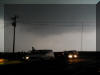
5 miles West of Pocasset, 7:30pm
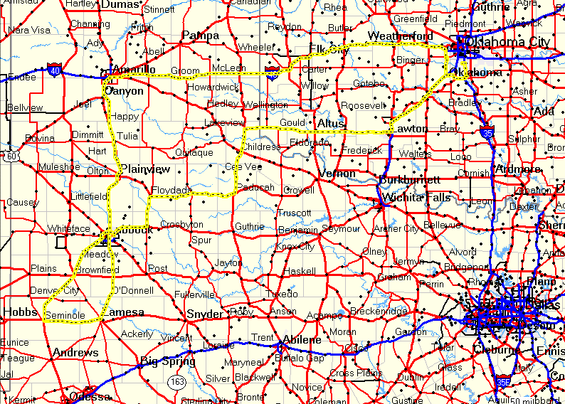
April 5, 2003
Northern Texas

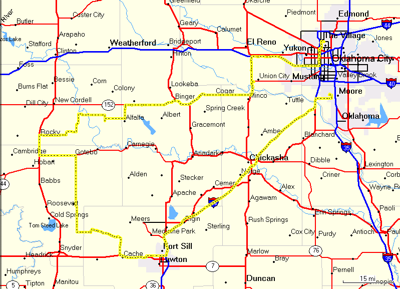
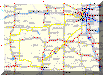
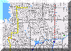
Chase Route
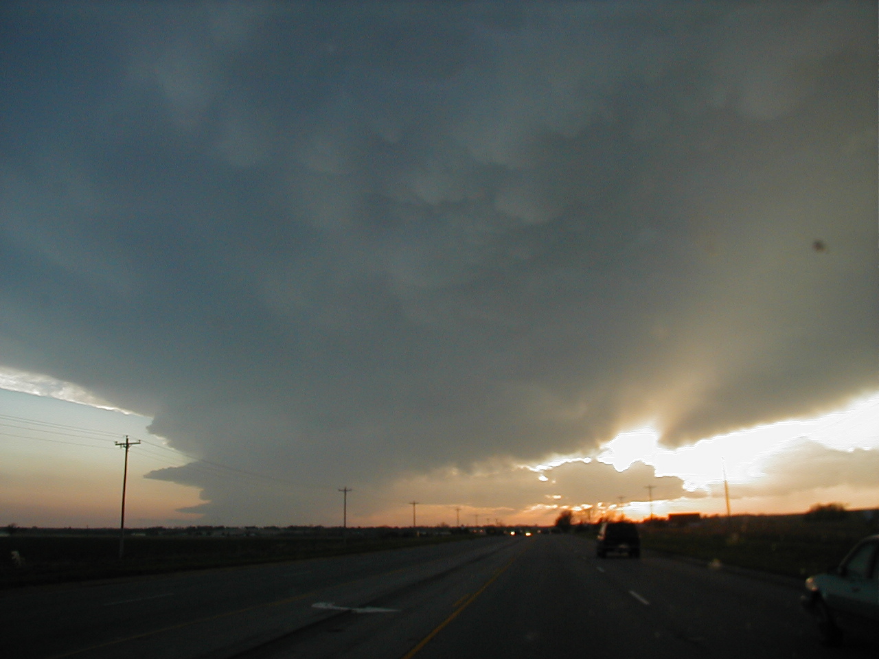
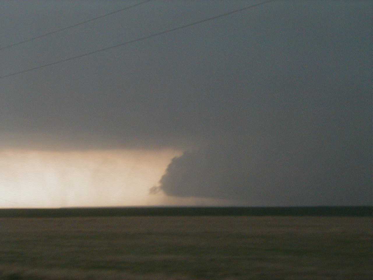
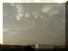
3:40 pm CST, SH6 at SH380 looking SW toward Hamlin. This was
about the time the tornado was being reported there. We were about 24 miles from
the town of Hamlin at this time.
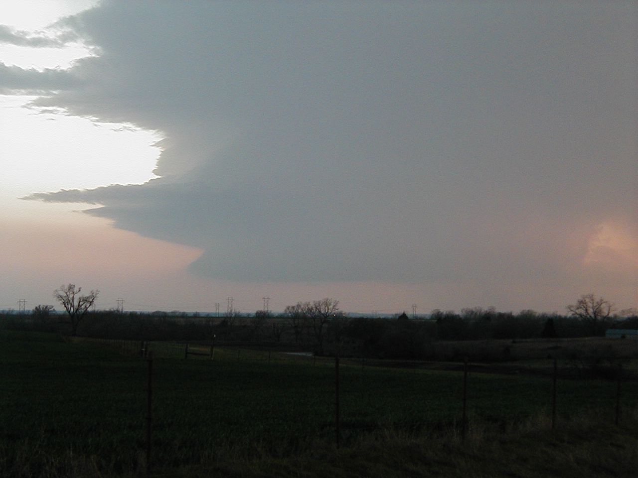
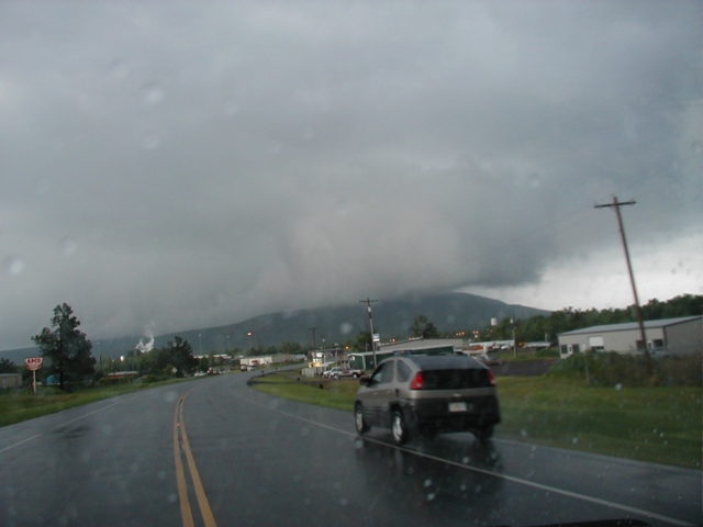
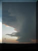
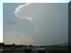
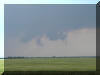
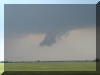
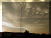
3:45 pm CST, just East of Sagerton on SH6 looking SW
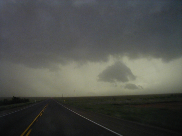
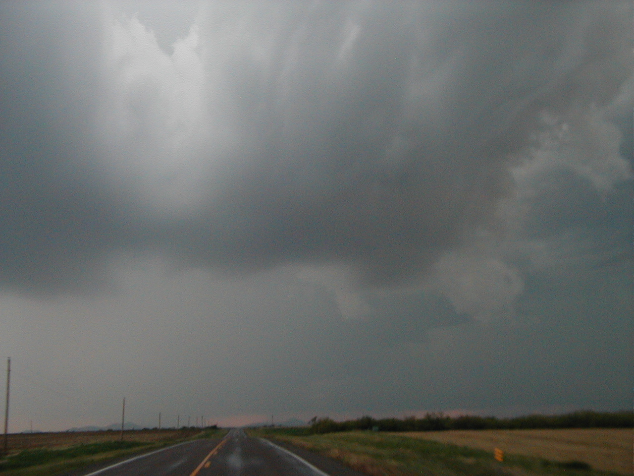
3:49 pm CST, a few miles Southeast of Sagerton looking SW.
The storm looked very violent, but didn't have any real organized structure at
this point.
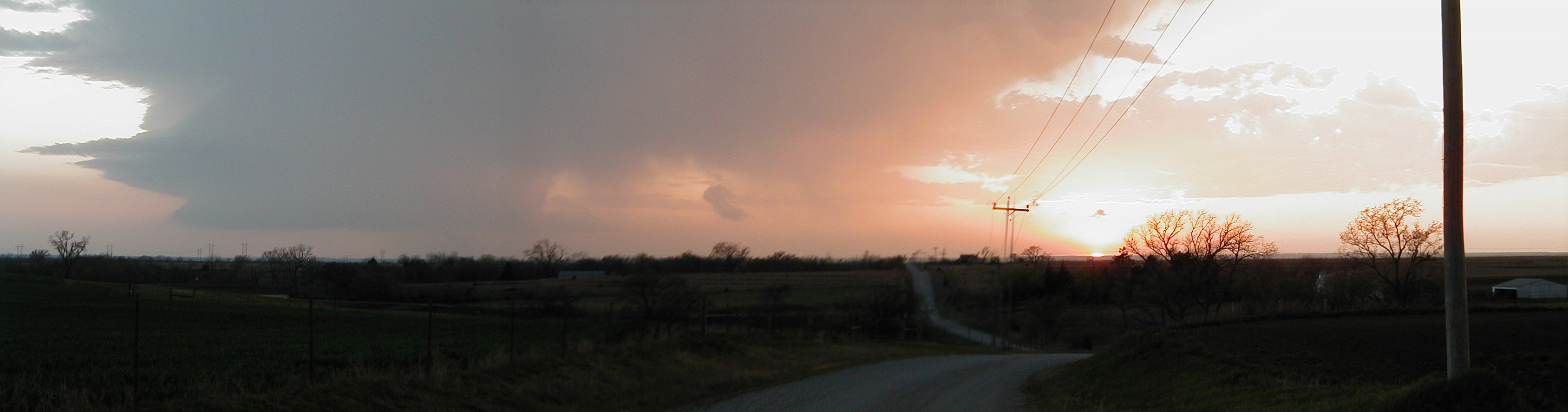
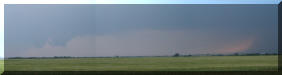
3:49 pm CST, tried a panorama, but was being blown around by
the wind.
3:52
4:01

4:06
4:47 Ranch Road 600, South of Lake Stamford looking E.
4:10 - 4:14 Hwy 180 West of Albany looking NE. The lack of
road options forced us to drop South, on the warm side of the front, before we
could get back to the storm. The temps went from the upper 60's all the way to
85 in just a few miles.
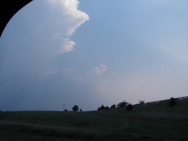
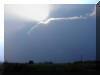
4:15 Hwy 180 West of Albany looking West. A few towers were
visible, but fortunately we had just gotten back into cell service and checked
radar to find they were not worth pursuing.

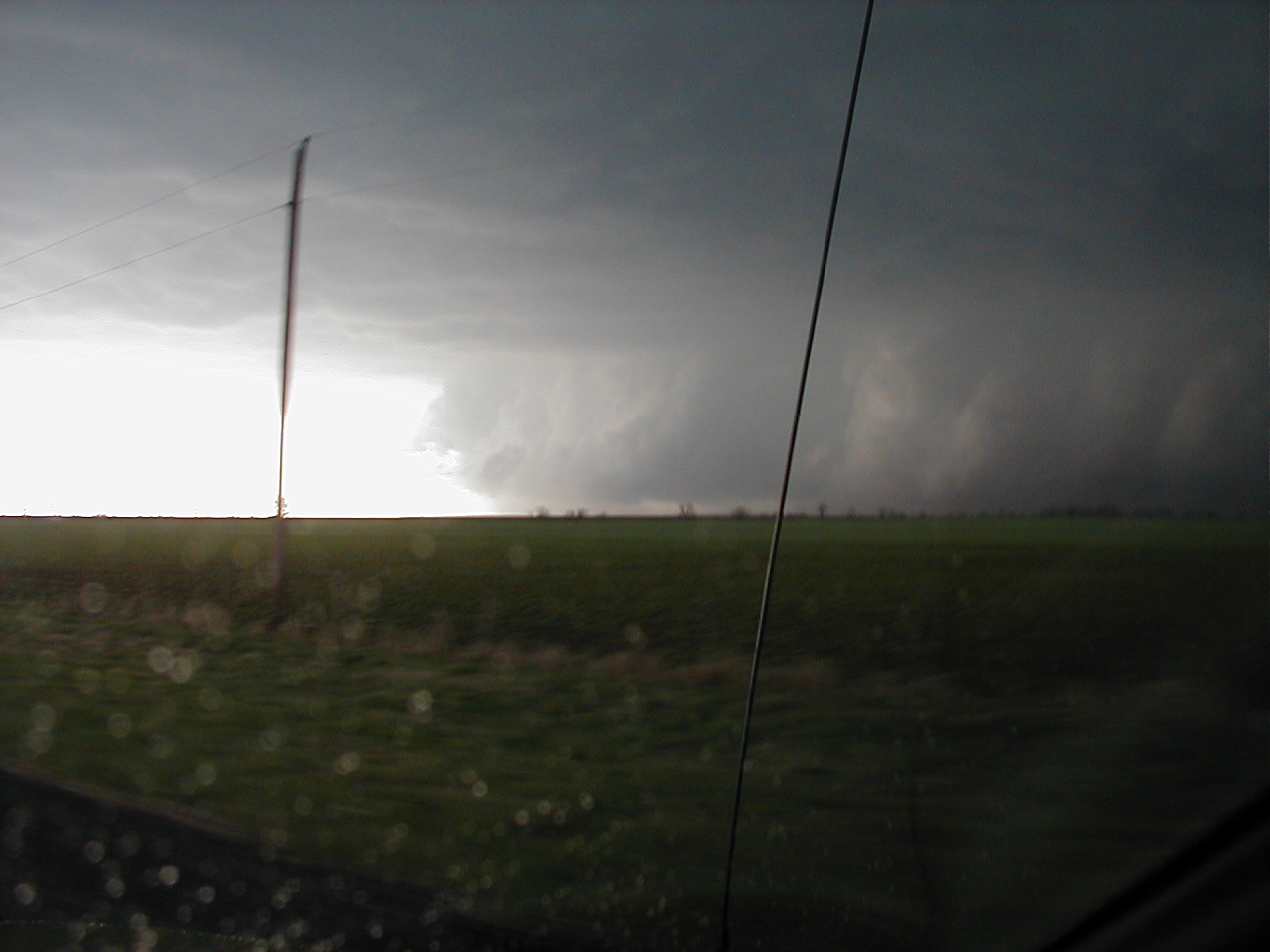
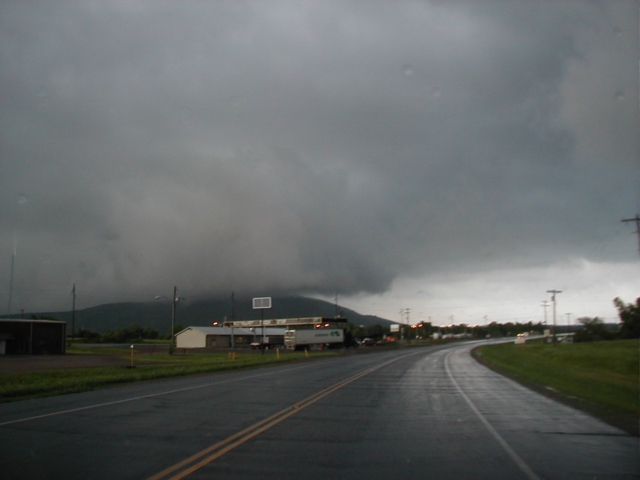
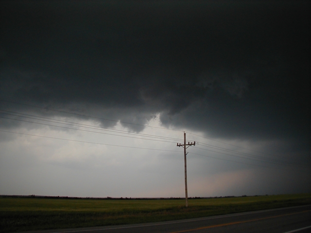
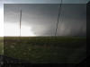
6:04 pm CST, Ranch Road 209, West of Woodson looking E. After
a long drive we ended up back on the big cell that continued to carry a tornado
warning.
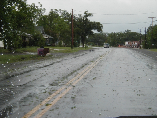
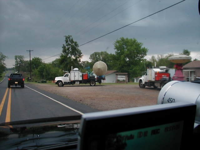
6:07 pm CST, Ranch Road 209 at Hwy 183. The town of Woodson had very few West facing
windows intact, shingles and siding were destroyed as well, and most vehicles
had lost windows. I had never seen this much hail damage. Everyone was outside
surveying their damage, and law enforcement was securing businesses and vacant
homes.
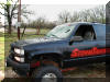
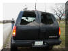
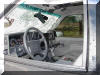

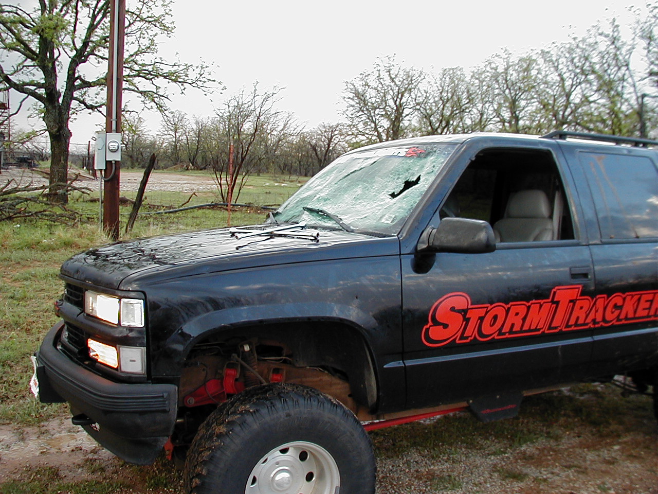
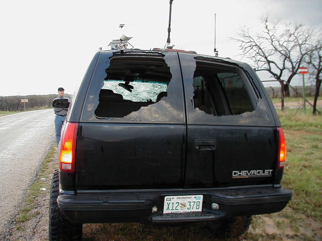
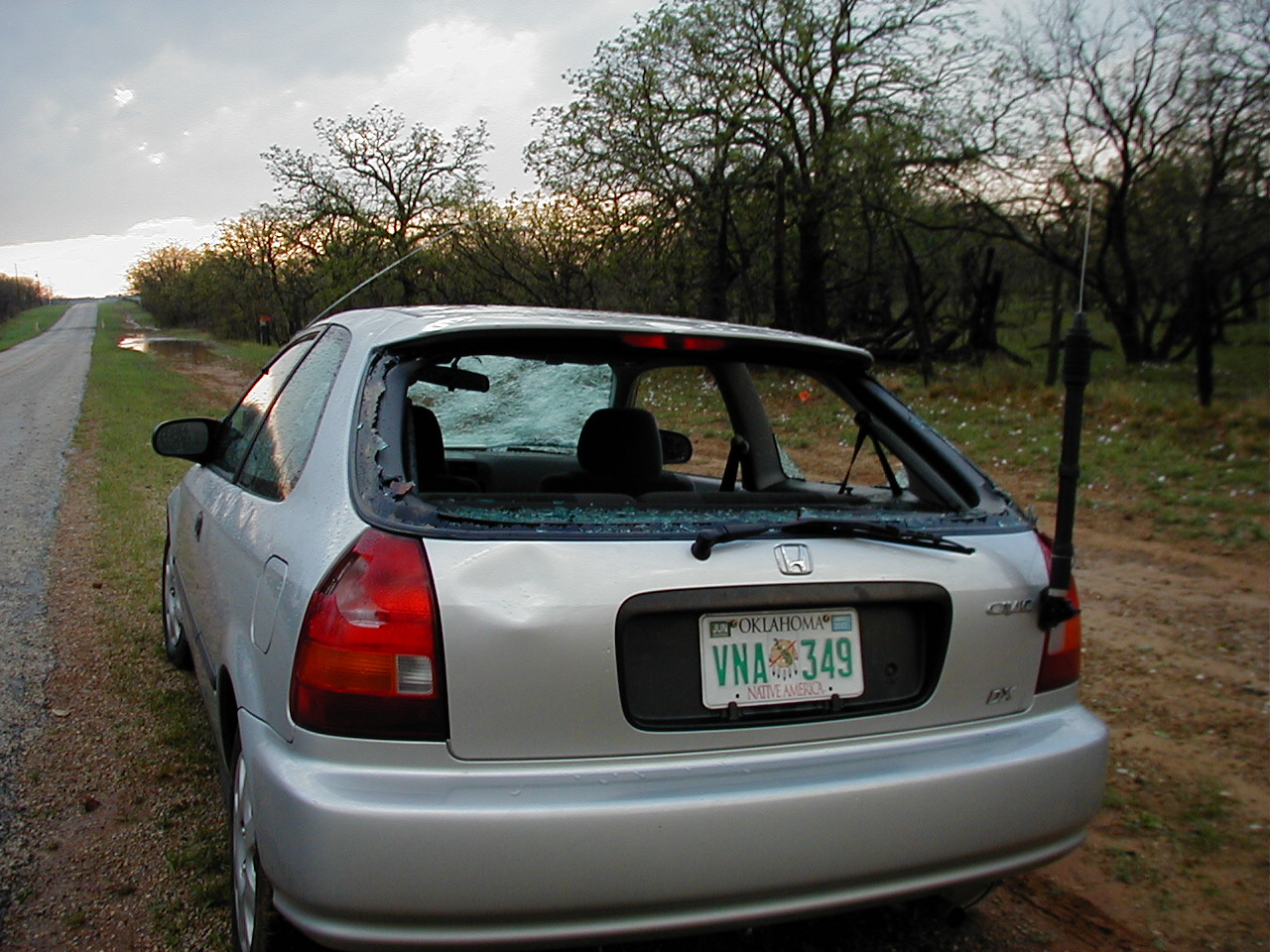
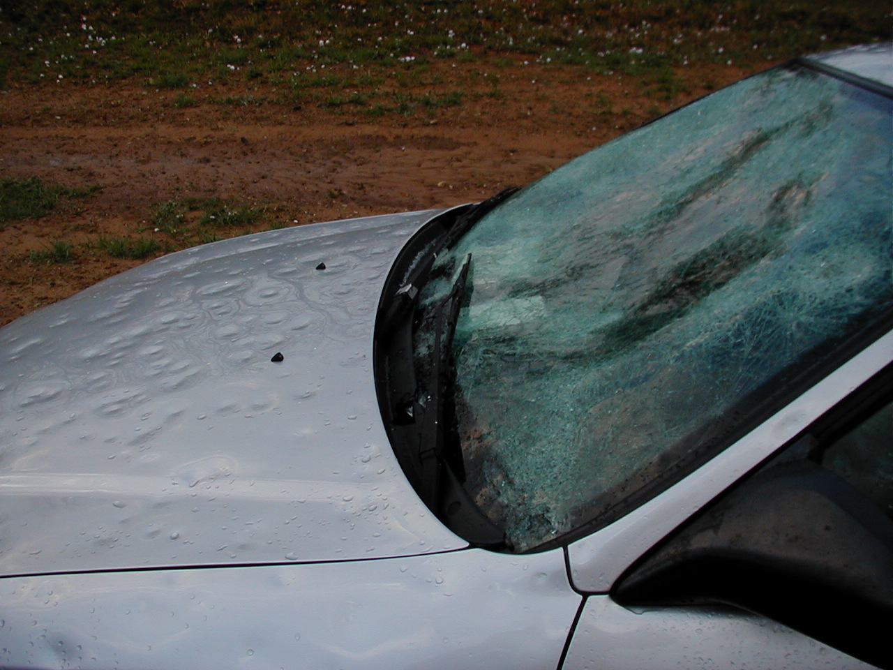
6:15 pm CST, just East of Woodson. Why you should make sure
your insurance is up to date before you go chasing. Val Castor's vehicle was
caught in the huge hail that this storm produced. He ended up driving back to
Stillwater, OK, peering through a hole on the driver's side. I heard the couple
in the Honda were taken to the hospital by ambulance, injured by flying glass
and hail.
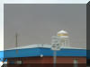
7:18 Hwy 254 just East of Graford. This hail on the road had
accumulated to about 4 inches deep.
April 23, 2003
Northern Texas

Chase Route
3:03pm CDT at the intersection of US277 and Hwy 25 in Mankins,
TX. Radar image showing the southern storm would likely cut off any good air
from the storm I was approaching.

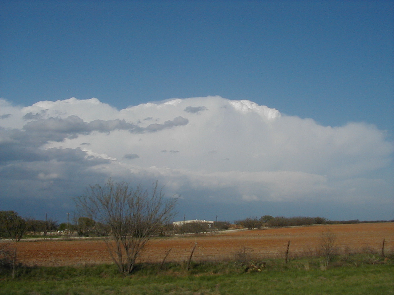
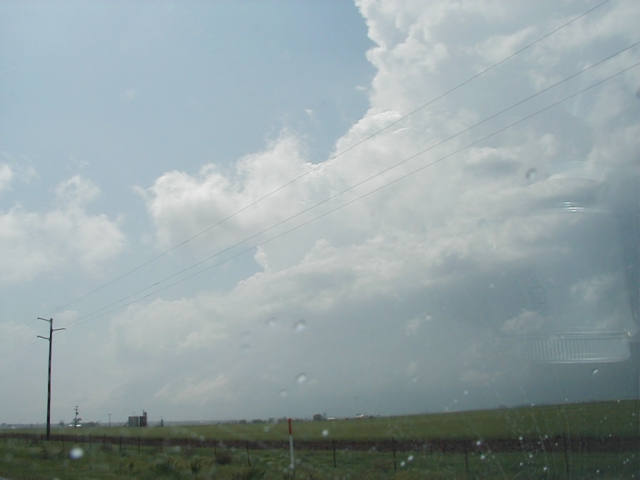
3:29pm CDT, US277 just NE of Seymour, TX, looking NW. The
clouds finally broke allowing a view of the storm NW of Seymour.
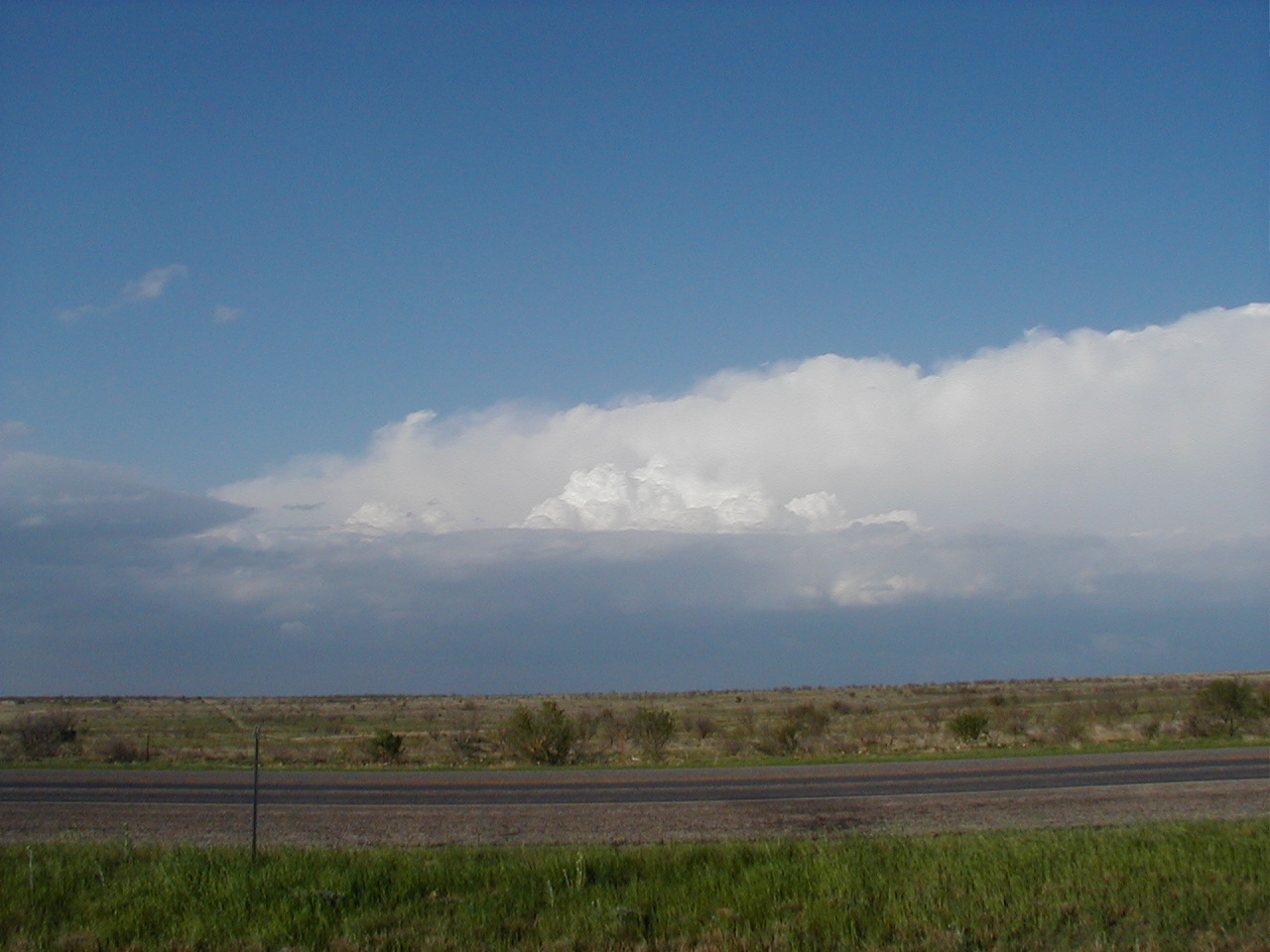
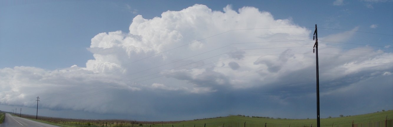
3:43pm CDT, Hwy 114, just SE of Seymour, TX, looking North.
Got enough clearing to show the Seymour cell just before it died.
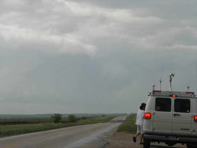
SE of Seymour, TX off of Hwy 114, 3:53pm CDT. Sitting behind
Eric Nguyen's
van as we watched the storm NE of Seymour turning to mush. After this we
traveled SE eventually ending up in Mineral Wells where we dined on some Pizza,
then decided to to intercept the Stephenville storm farther South.
Unfortunately, it was dark by the time we got in front of it, and furthur
development of the storm seemed unlikely.
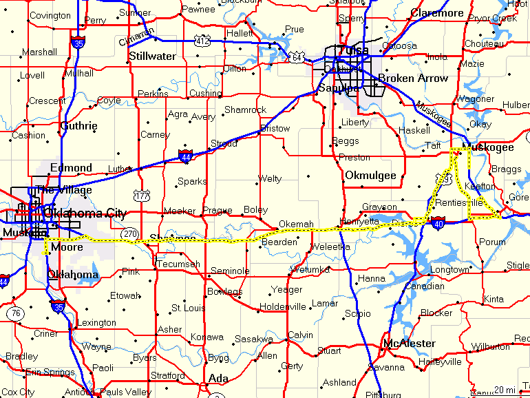
May 4, 2003
SE Oklahoma

Chase Route
2:00pm CDT, I-35 north of Guthrie, OK. Initially we were
going to travel north then east, but realized the dryline had already passed. I
really didn't want to end up in central Missouri,
and so we decided not to go farther northeast but to drive south and catch the convection
going up near
Sulphur, OK. In hindsight this was a bad decision.
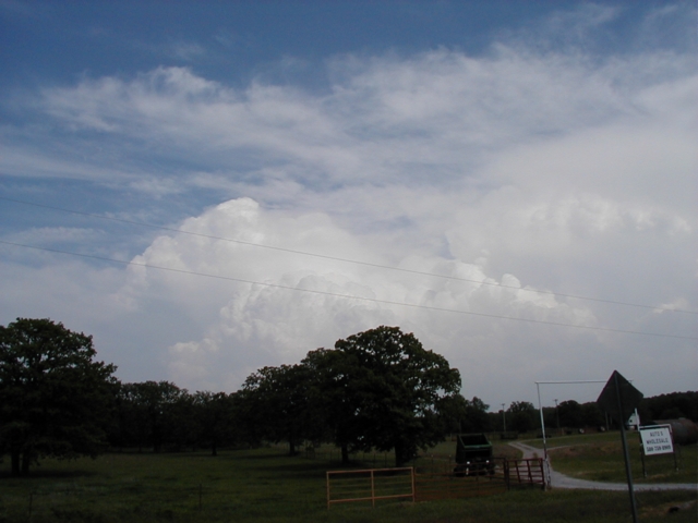
3:45pm CDT, Hwy 3 NW of Ada, OK. Storms were firing in a line
from the SW to NE of Ada.
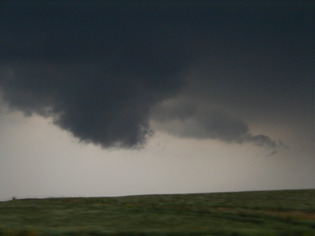
4:26pm CDT, South of Hwy 3 near Stonewall, OK. looking NE.
The line of storm cells began to merge into one cell, taking on supercell
characteristics.
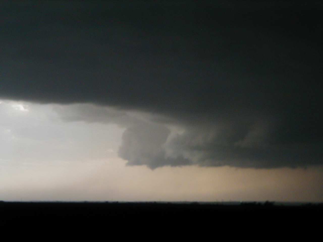
4:43 pm CDT, on Hwy 3 SE of Stonewall, OK. The cell was
picking up speed and moving away from us.

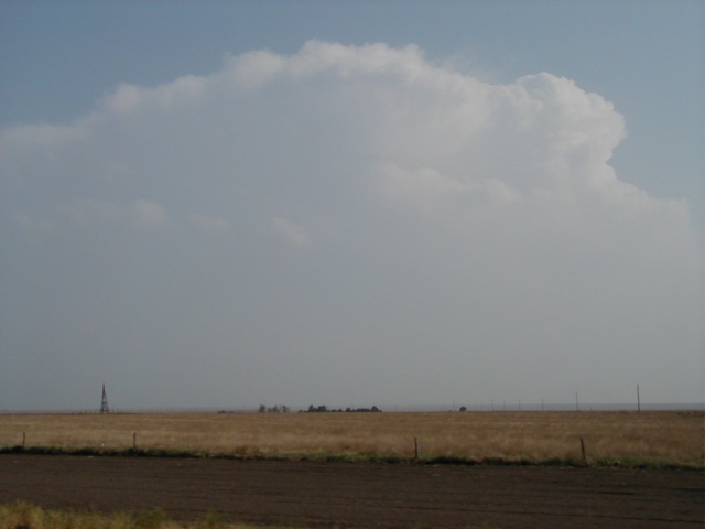
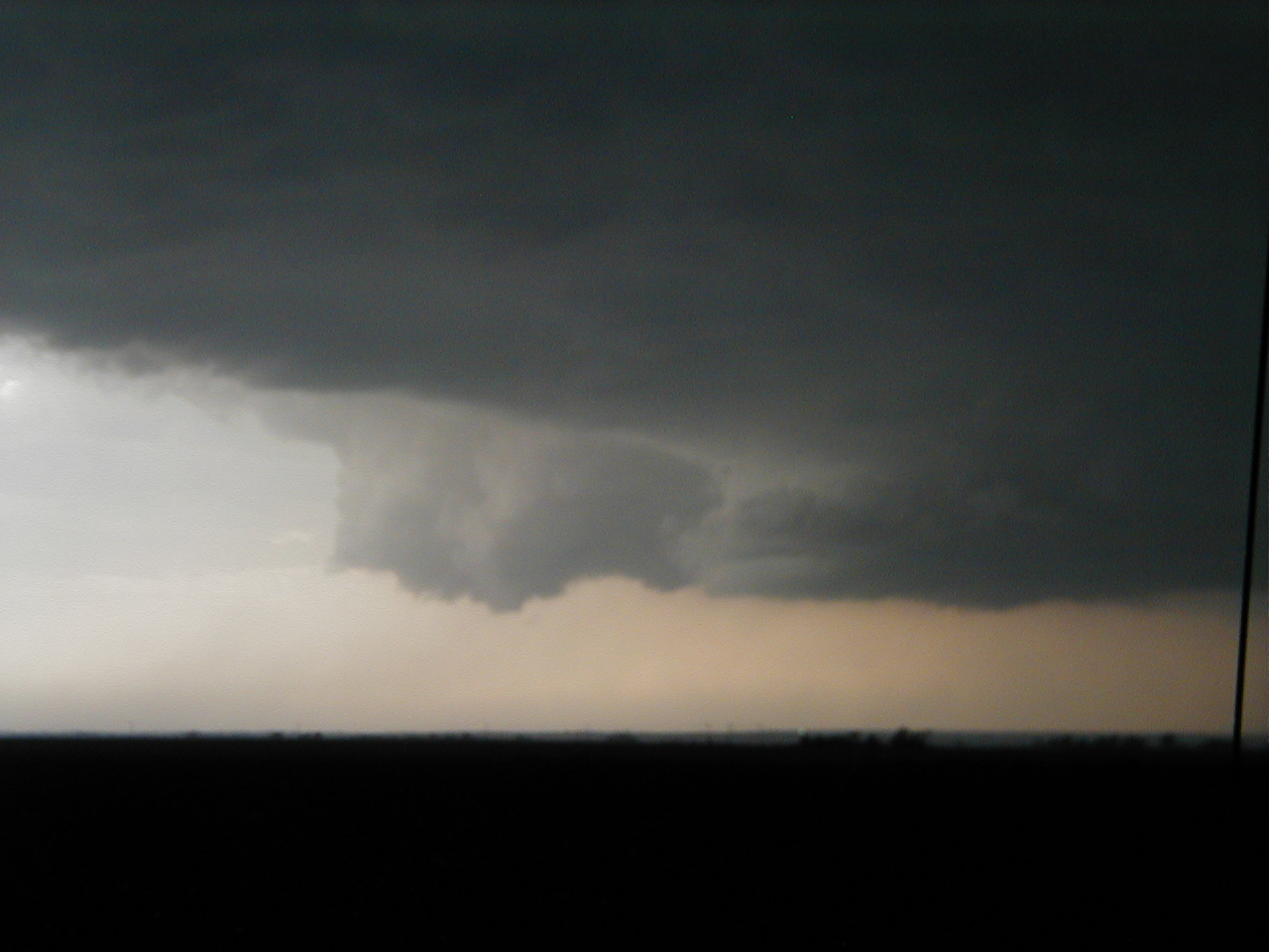
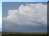
4:54pm CDT, Hwy 3 NW of Coalgate, OK. Got a view of the
backsheared anvil on this storm.
5:22pm CDT, Hwy 63 just east of Kiowa, OK. The storm became
tornado warned at 5:03pm. We saw lots of rising motion, but were not in a good
position to make out any of the storm rotation.
6:05pm CDT, US270 in Wilburton, OK. Evidence in town of lots
of hail and RFD winds.
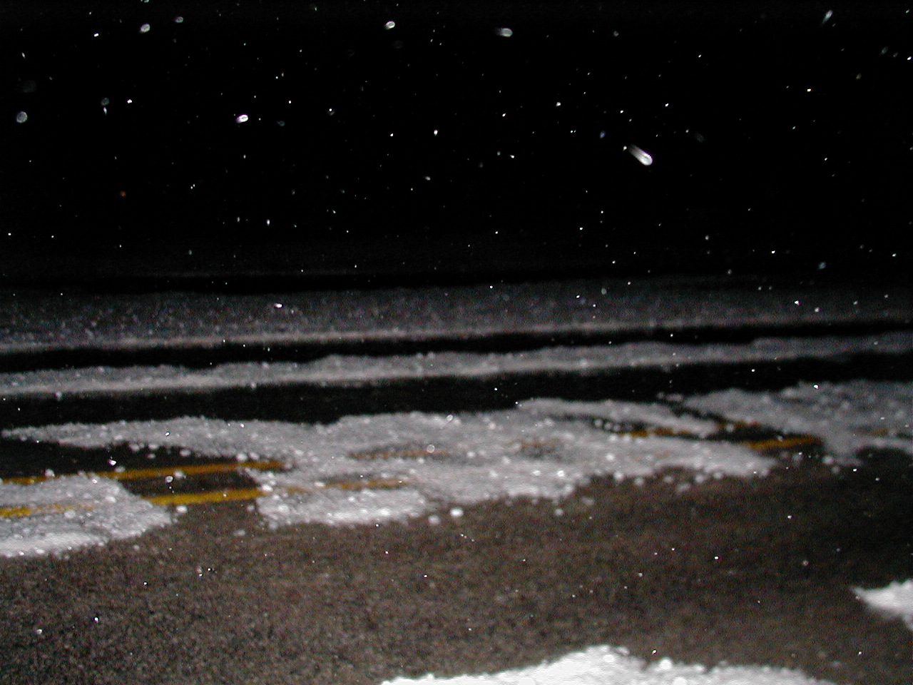
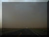
6:14pm CDT, US270 10 miles east of Wilburton, OK. The hail
created some ground fog along the railroad tracks. Eventually caught the storm
driving through heavy rain and strong RFD wind out of the north.

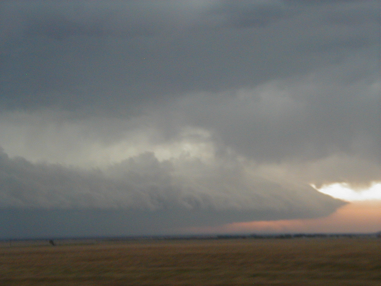
6:51pm CDT, US270 in Heavener, OK. First time I've ever seen
a wall cloud intersect with a mountain.
7:08pm CDT, Hwy 28 in Bates, AR. Caught up with the DOW
trucks and Val Castor who were also following this storm.
7:40pm CDT, US71 just north of Elm Park, AR The storm has
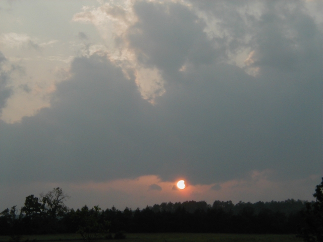
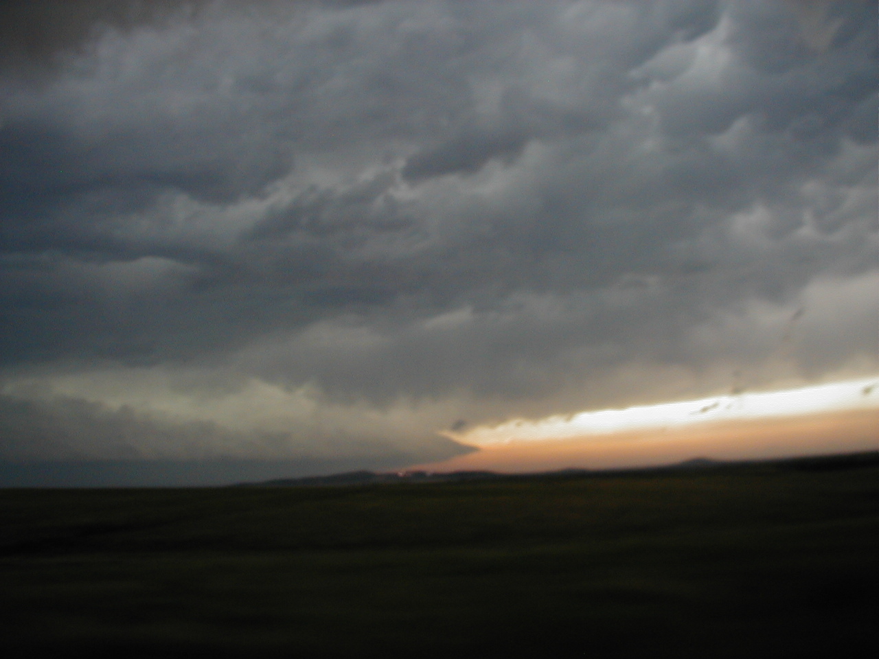
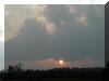
outrun us, and failed to produce a tornado. A nice sunset.
May 9, 2003
Oklahoma Chase
Chase route
5:21pm CDT
5:37pm CDT

6:27pm CDT
6:51pm CDT
7:09-7:20pm CDT
7:27pm CDT
7:40-750pm CDT
8:30pm CDT
Route in Oklahoma City, ended when we took cover in a random
house off Britton road.
May 15, 2003
Texas Panhandle Chase

Chase route
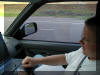
1:40pm CDT. Kyle Mozley does some hand analysis on the road
to Texas.
3:52pm CDT. Chasers converge at a Pilot station east of
Amarillo at the intersection of I-40 and Hwy 287.
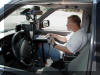
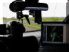
3:53pm CDT. Kyle looks at Amarillo radar, watching for storms
to develop.
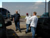
4:08pm CDT. Sean Douglas, Jay Bell, and Kyle Mozley wait for
storms to initiate. Had we gone north on 287 at this time we would have made it
to Stratford for the tornados up there, but were convinced the dynamics were
better where we were.

4:17pm CDT. A shear vortex formed overhead while we waited.
6:05pm CDT. We decided to drop south to intercept this cell,
but it dissipated as we approached.
6:56pm CDT. Another shear vortex.
After dark we waited on the south end of
Shamrock for the approaching tornadic cell. The visibility was terrible, inflow
winds of 50+ were stirring up TONS of dust. Never saw anything, and went home
bagging a zero for the day.
May 16, 2003
East Oklahoma Chase

Chase route

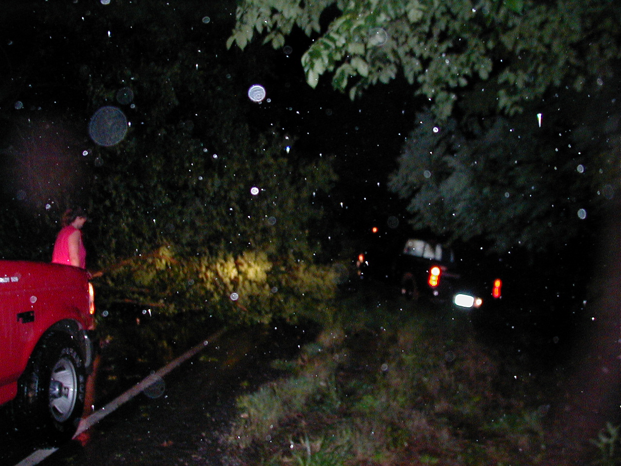
Didn't expect much today. Got hung up in some SLOW traffic on
I-40 and missed a tornado that crossed the interstate near Pharaoh, OK. I was
amazed at the drivers who dodged debris in the road, ignored the damaged
structures and blown down highway signs and continued driving into the storm in
front of them.
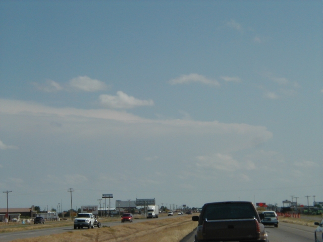
June 3, 2003
West Texas
Chase route
I left OU at about 12:30 with
Kris Booker,
initially going to target Amarillo and make a refined target based on what
developed along the way. I had expected storms to fire off in New Mexico and
move east, but at 5pm the only real action we could see was going on 100 miles
south, near Lubbock.
5:14pm CDT, I-27 just south of Amarillo looking south. We
could finally make out the cells that had fired near the Lubbock area.
6:10pm CDT, I-27 in Plainview looking south
6:52pm CDT, US87 near Woodrow looking southwest
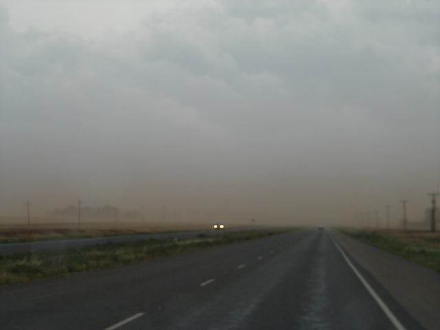
7:45pm CDT, US87 north of Lamesa looking south. A layer of
dust near the surface.
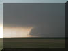
7:51pm CDT, US180 in Lamesa. The only tornado we saw all day.
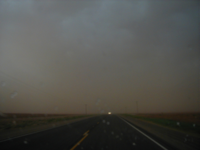
8:00pm CDT, US180 12 miles west of Lamesa looking west.
Finally made it through the dust and ensuing mud shower and were able to see the
storms structure again.

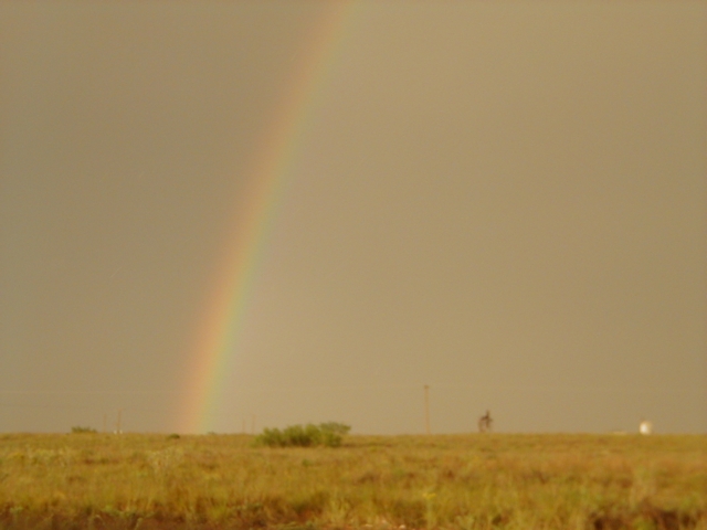
8:17pm CDT, US180 10 miles east of Seminole looking east.
Still plenty of dust in the air with a nice rainbow.
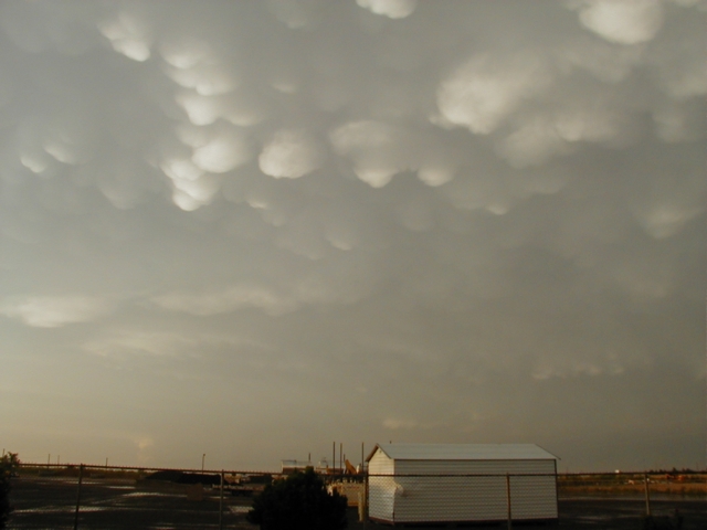
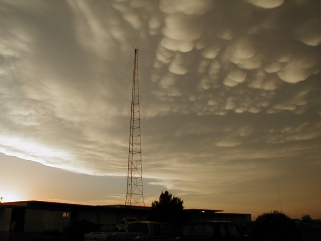
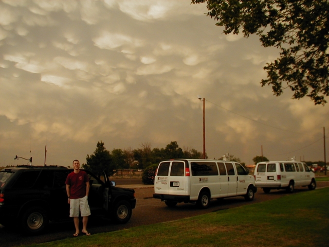
8:30pm CDT US180 in Seminole. We were treated to some nice
mammatus clouds, and chatted with a group from Mississippi State.
June 11, 2003
West Oklahoma Storms


|