Click on an image to enlarge it.
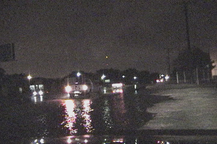
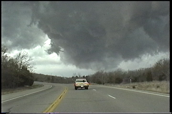
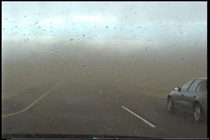
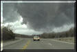
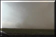
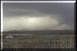
October 22, 2000 - Oklahoma City Tornado
Oklahoma City, OK. near SW 29th and Eastern Ave. This storm surprised me by
producing a tornado in the city. It did a little damage near Crossroads Mall.
This image capture does not show the funnel well. Look right above the rear tire
of the vehicle in the middle, the funnel is slightly lighter than the
background. You really have to watch multiple frames to see it through the video
noise. My footage was shown on KFOR Channel 4 in Oklahoma City and KJRH Channel
2 in Tulsa.
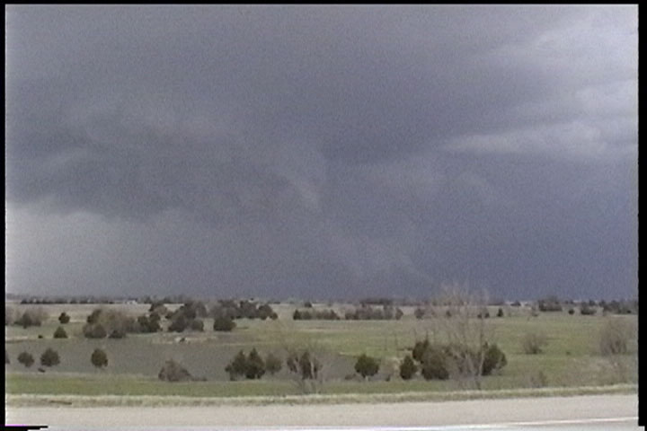
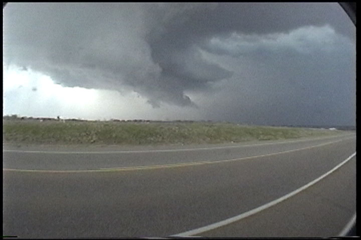
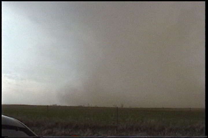
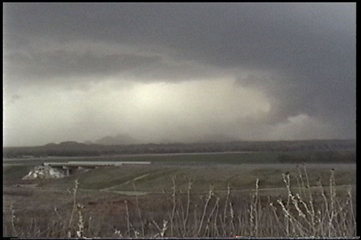
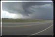
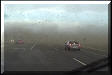
April 30, 2000 - North Texas
Near Crowell, TX. The sirens were going off in town, I'm just
East as the storm approaches. There were numerous reports of a tornado, but I
never saw it. This was a great looking supercell, though.
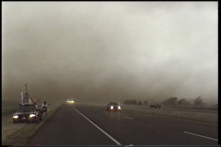
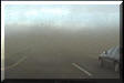
March 26, 2000 - East Central Oklahoma
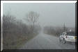
East of Meeker, OK. Lots of hail ended up covering the
roadway.
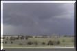
Near Seminole, OK. The first picture is of a rotating wall
cloud taken just as a tornado warning was being issued for Seminole County.
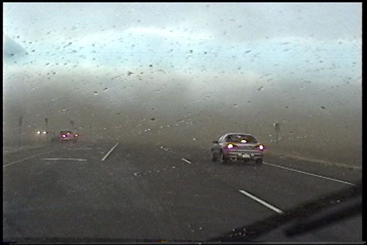
March 7, 2000 - Southwest Oklahoma
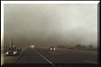
Just east of Altus, OK. This was a very strong downburst, I
recorded a maximum wind of 80 mph! Next time I'll remember to roll the windows
up BEFORE getting out of the car... This video was later shown on KWTV Channel 9
in Oklahoma City.
| |
|