April 21, 2004 - Central Oklahoma
Click on any photo to see a larger version

Route
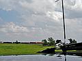
2:30pm, US81 south of Minco. Waiting for storms to fire.

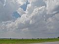
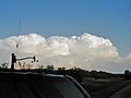
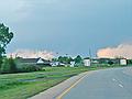
4:20pm, US77 at I35 north of Purcell. Lots of rising motion,
but I saw no rotation.

4:30pm, US77 at I35 north of Purcell. Hail to the size of
quarters covers the roadway. I saw plenty of damaged cars in Purcell. Mine was
already dented.
4:35pm, US77 at Hwy39 in Purcell. Looking at cells to the
south.

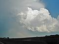
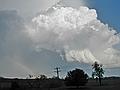
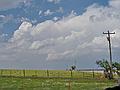
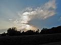
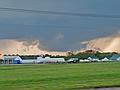
4:50pm, Hwy39 6 miles east of Lexington. Nice developing
towers to the southeast.

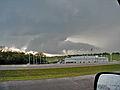
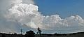
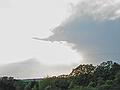
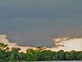
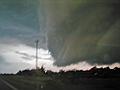
4:55pm, Hwy39 11 miles east of Lexington. A funnel hangs out
the back of the storm.
5:15pm, US177 6 miles north of Asher. I leave the storms as
they move into eastern Oklahoma.

6:20pm, US177 10 miles north of Asher. New storms are
developing back to the west, near the metro.
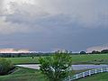
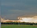
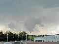
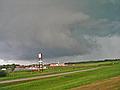
6:45pm, US177 near Shawnee. Nice lowering. Again, no
rotation. Got into more large hail near I40.

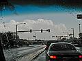
6:55pm, I40 5 miles east of Shawnee.
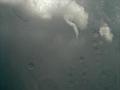
6:58pm,
7:00pm,